
On this page
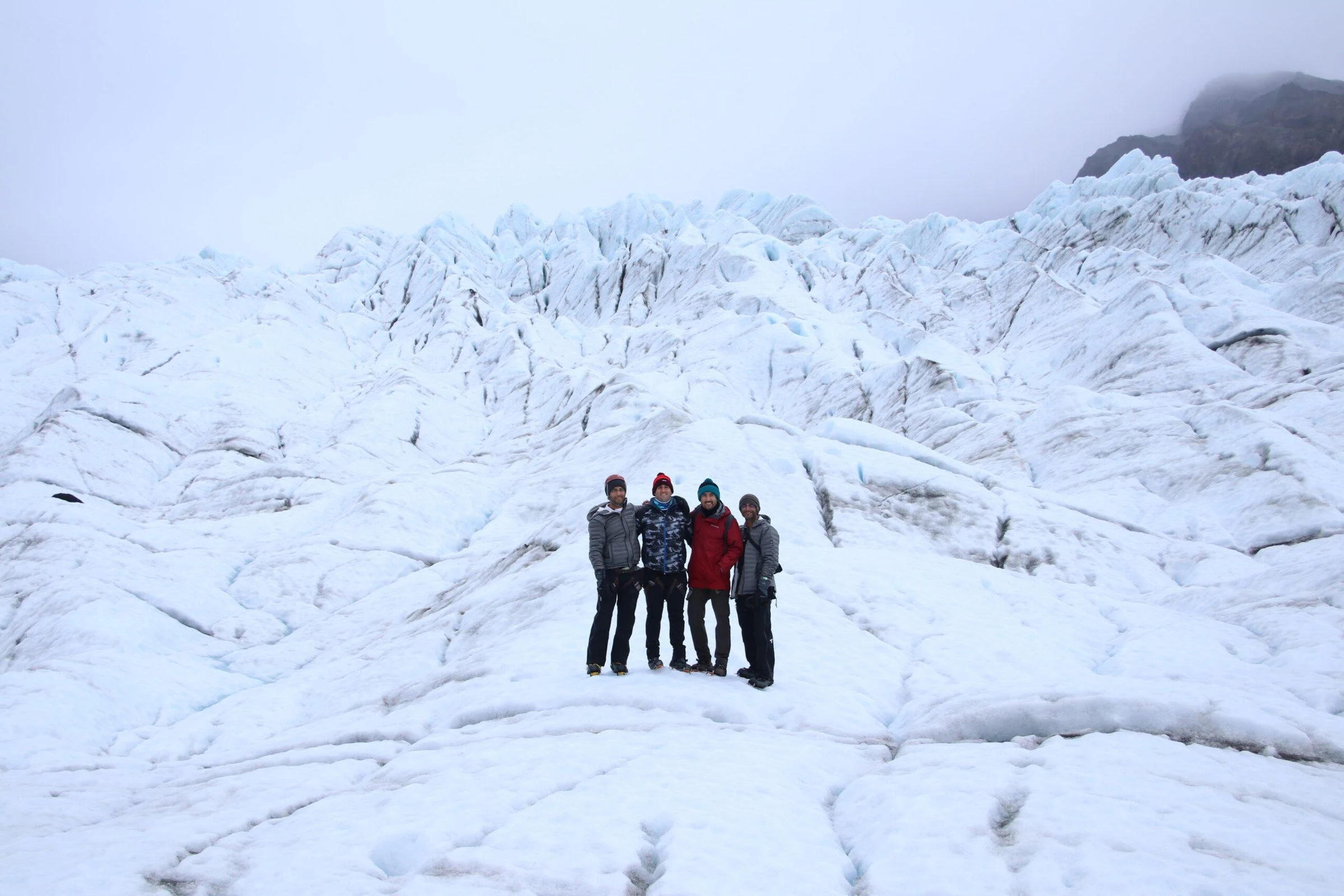
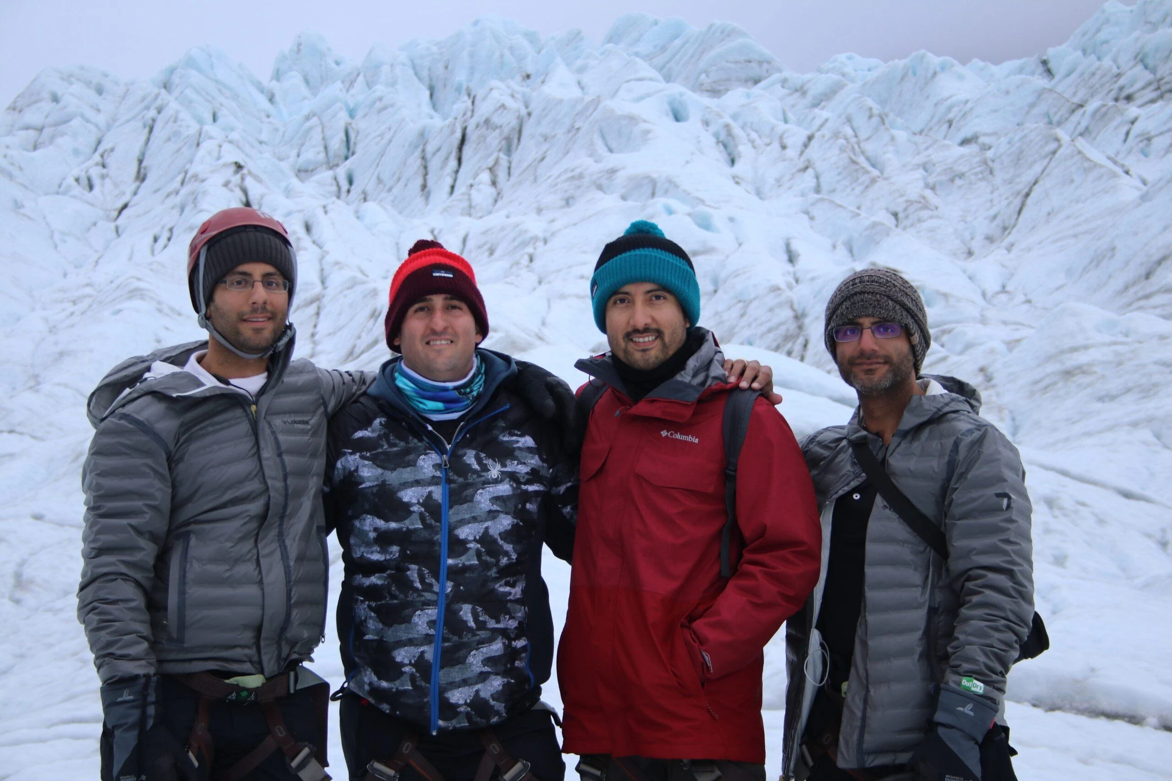
On October 1, 2019, we went on a guided glacier hike with Rowan. The recorded route has 655 points from my hike. It shows where we went, but does not establish a visit to the summit of Hvannadalshnúkur or confirm the glacier’s name.
My distance and ascent note reads “Distance 3.46 m | Ascent 425 feet.” The distance unit is unclear. You can download the GPX below to see the route from that day; it is a record of the visit, not a current navigation guide.
Distance 3.46 m | Ascent 425 feet
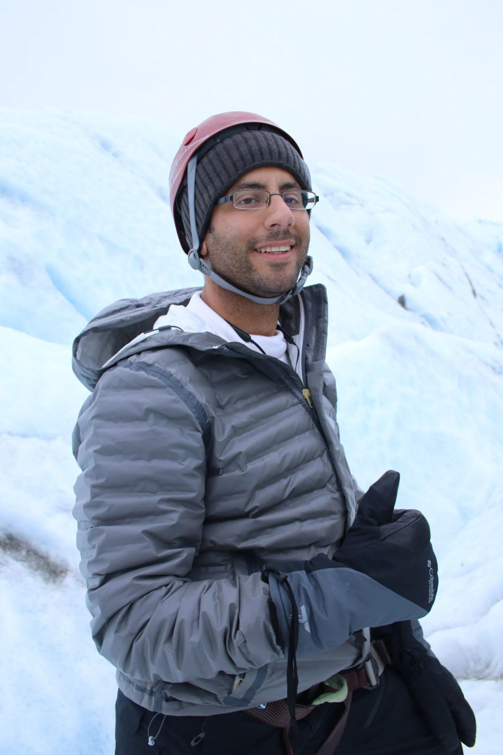
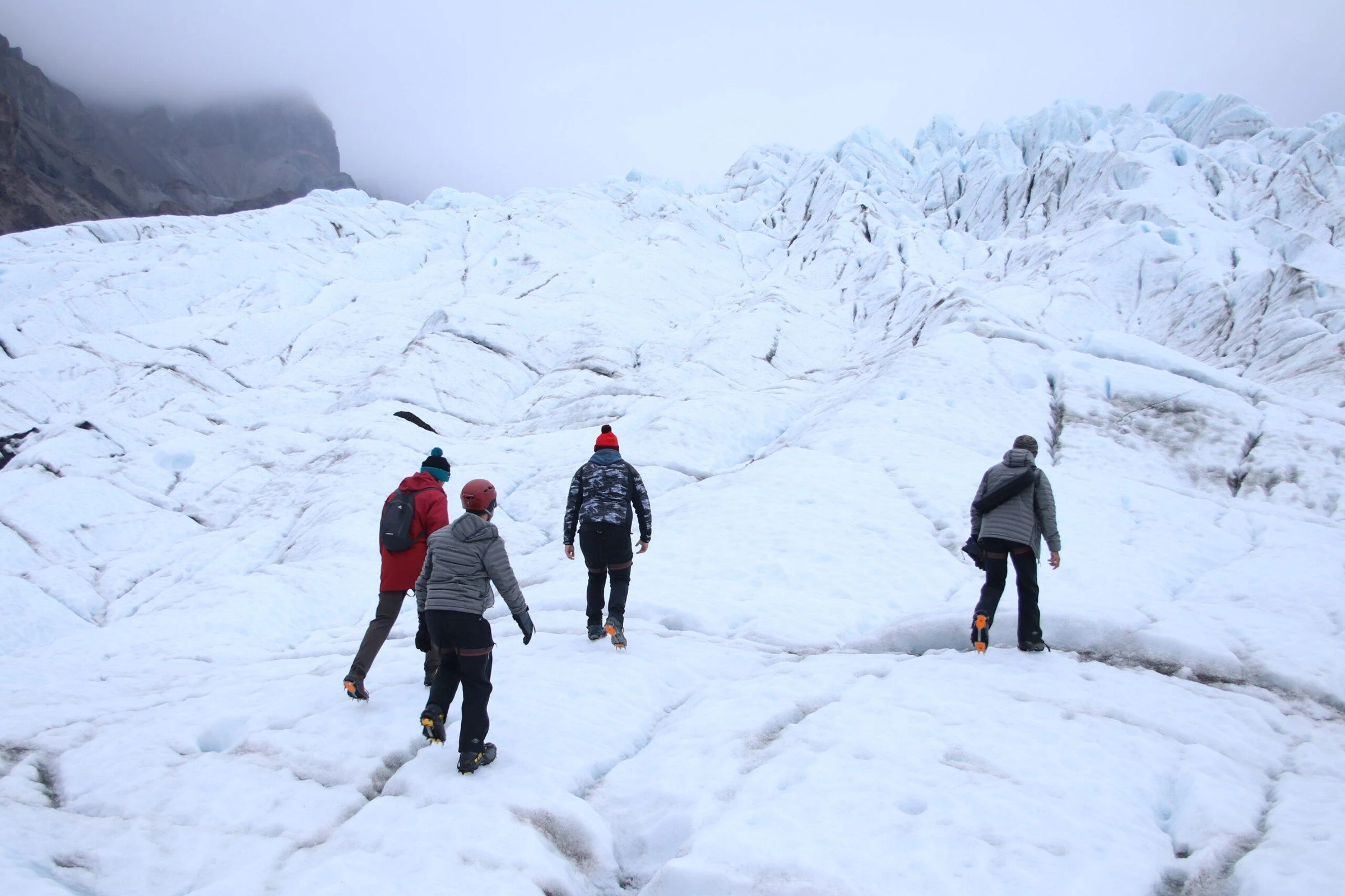
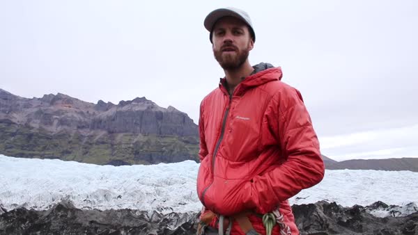
Rowan was our private guide for the day. Our hike took us across several kinds of terrain before we reached the glacier, where we climbed the ice and explored its formations.
From grass to ice
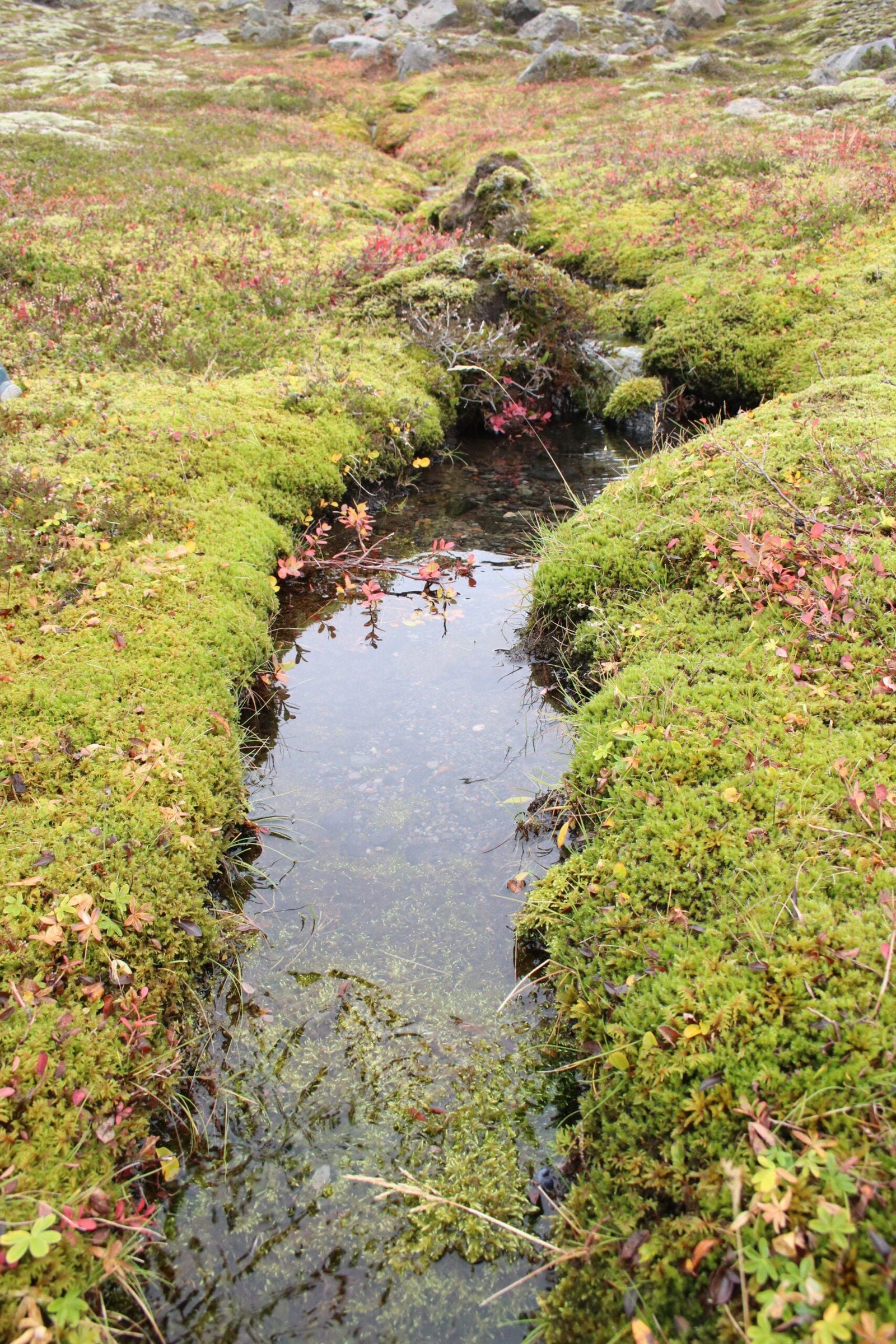
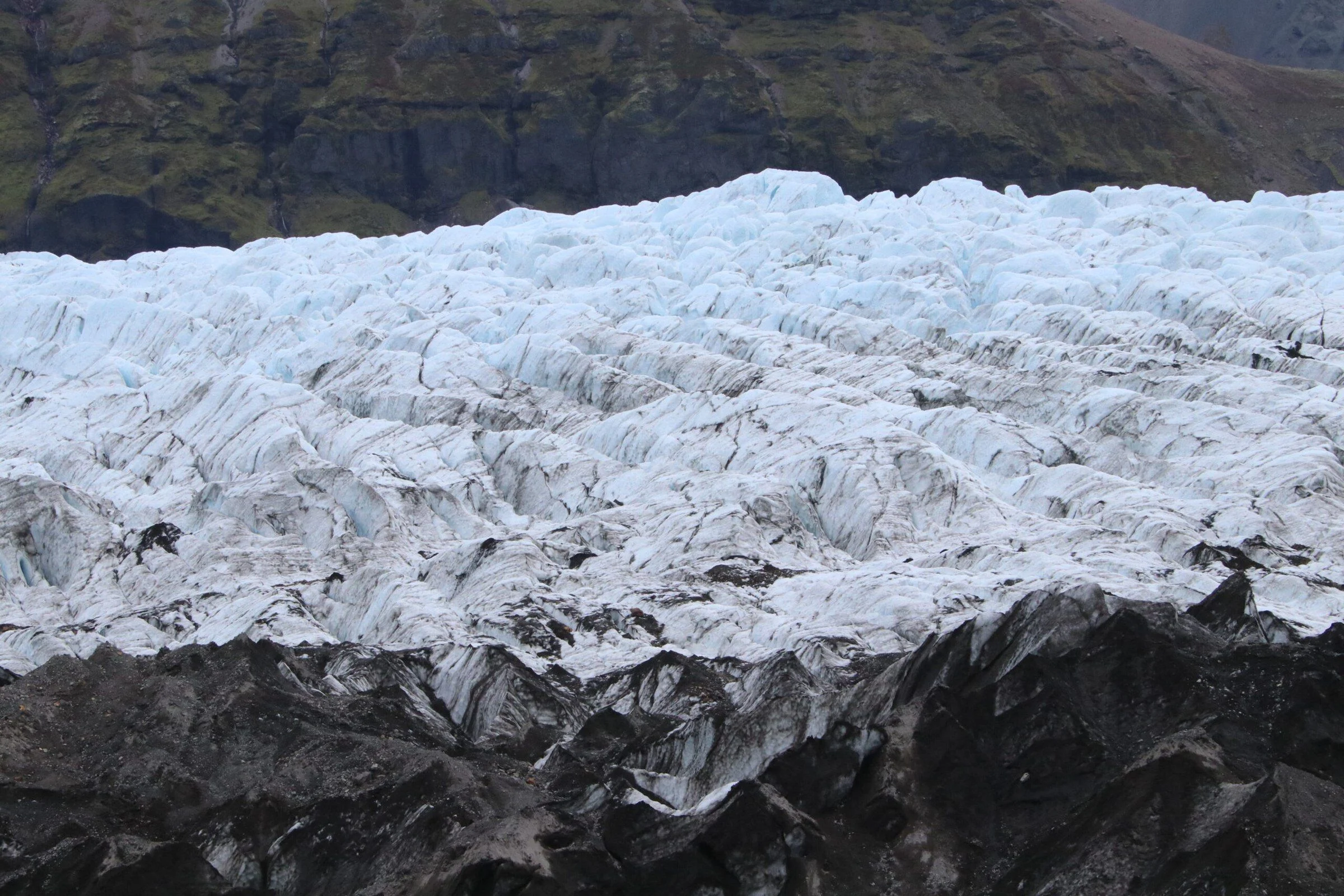
We began on grassy plains, then crossed dirt-covered ice before reaching the glacier itself. The ground changed as we walked, from grass and soil to exposed ice.
Out on the glacier
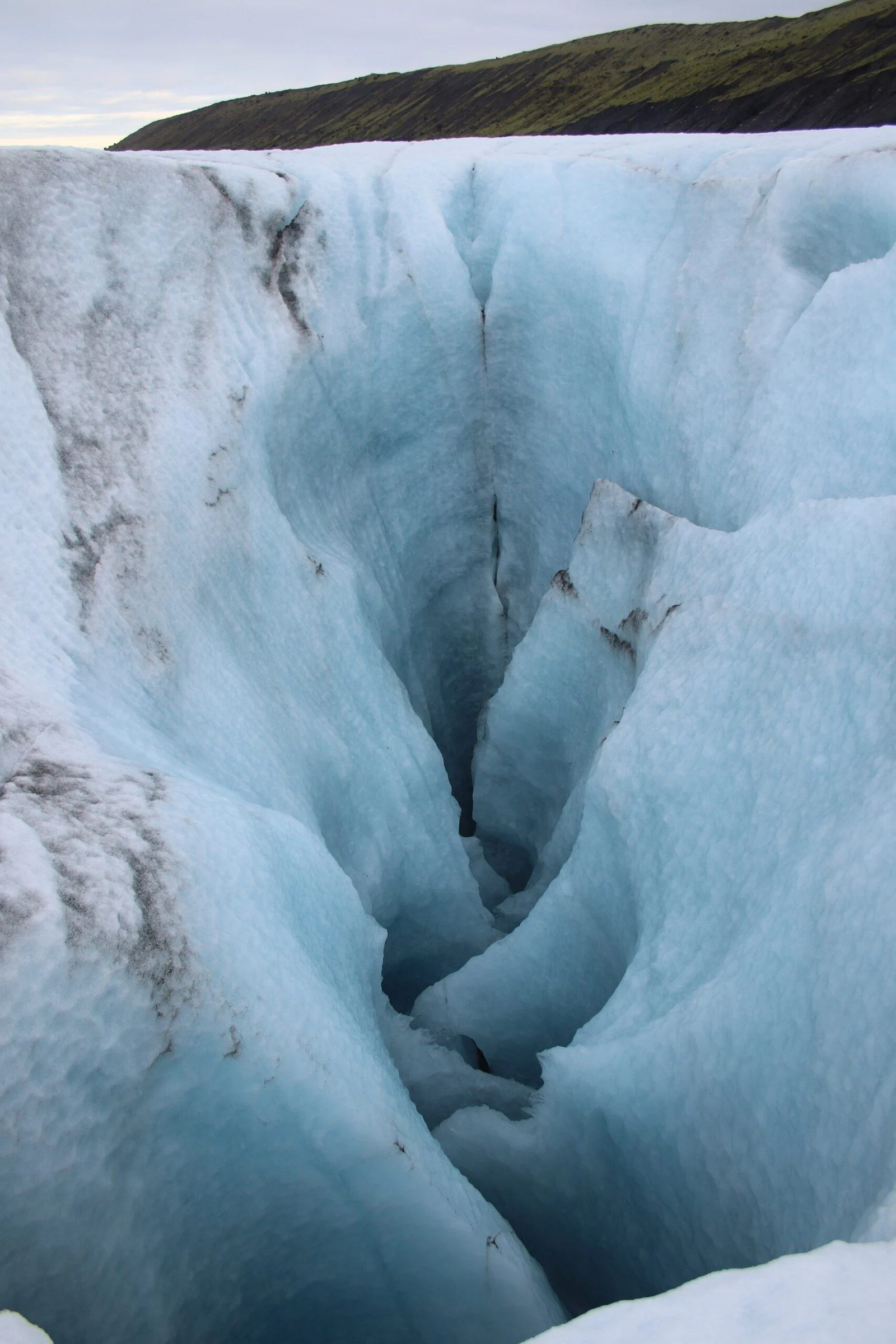
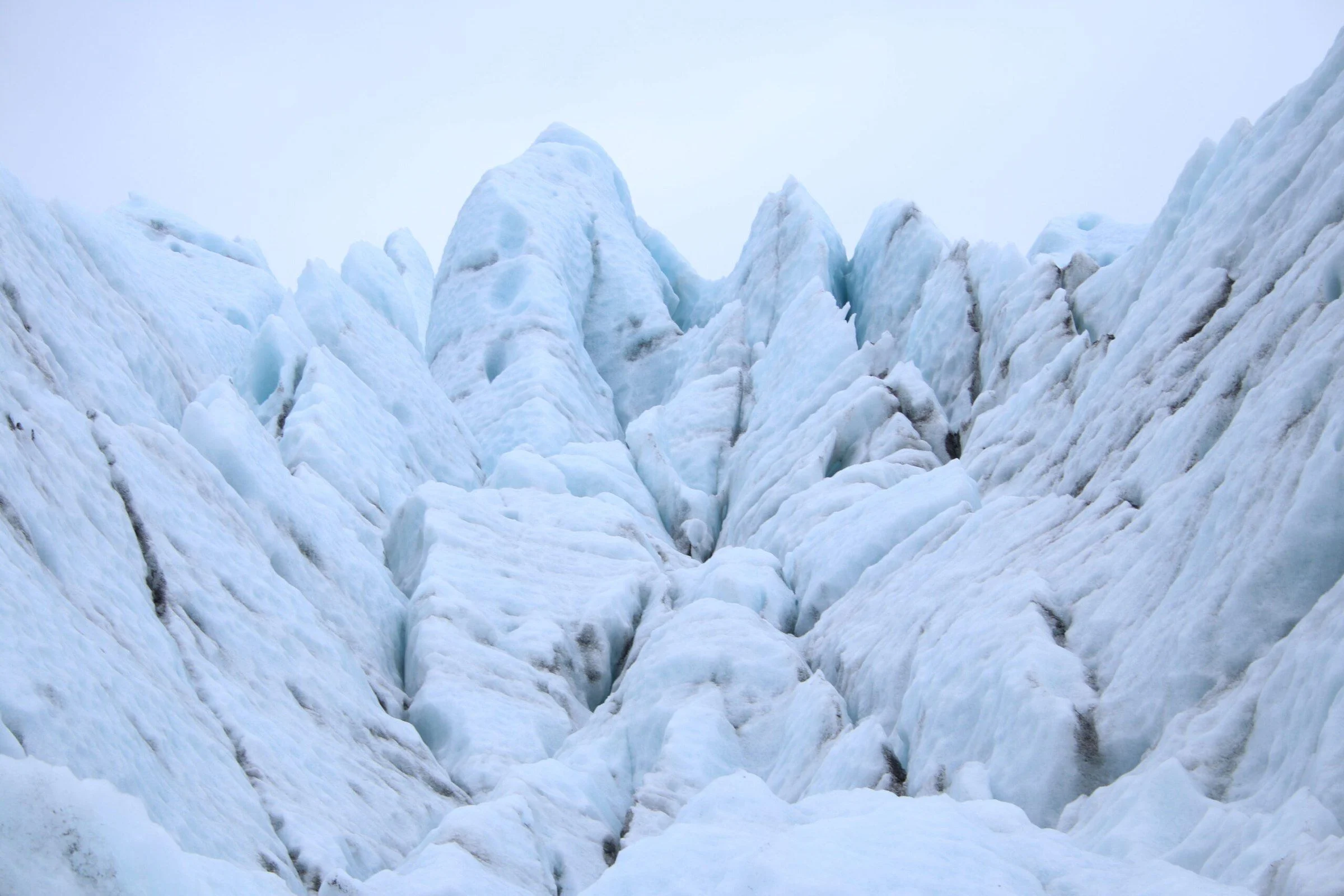
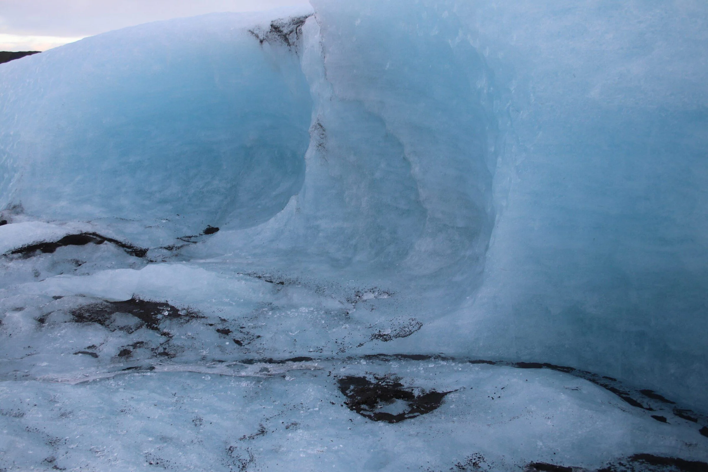
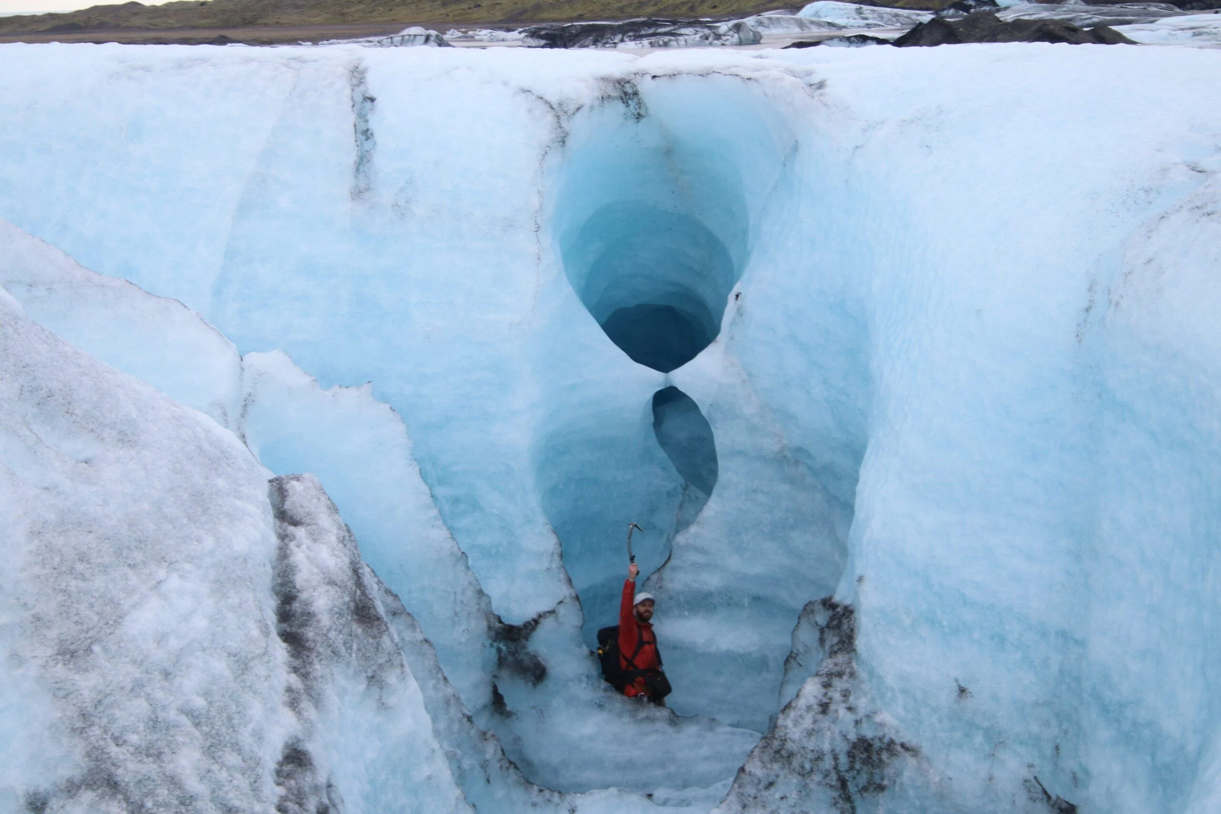
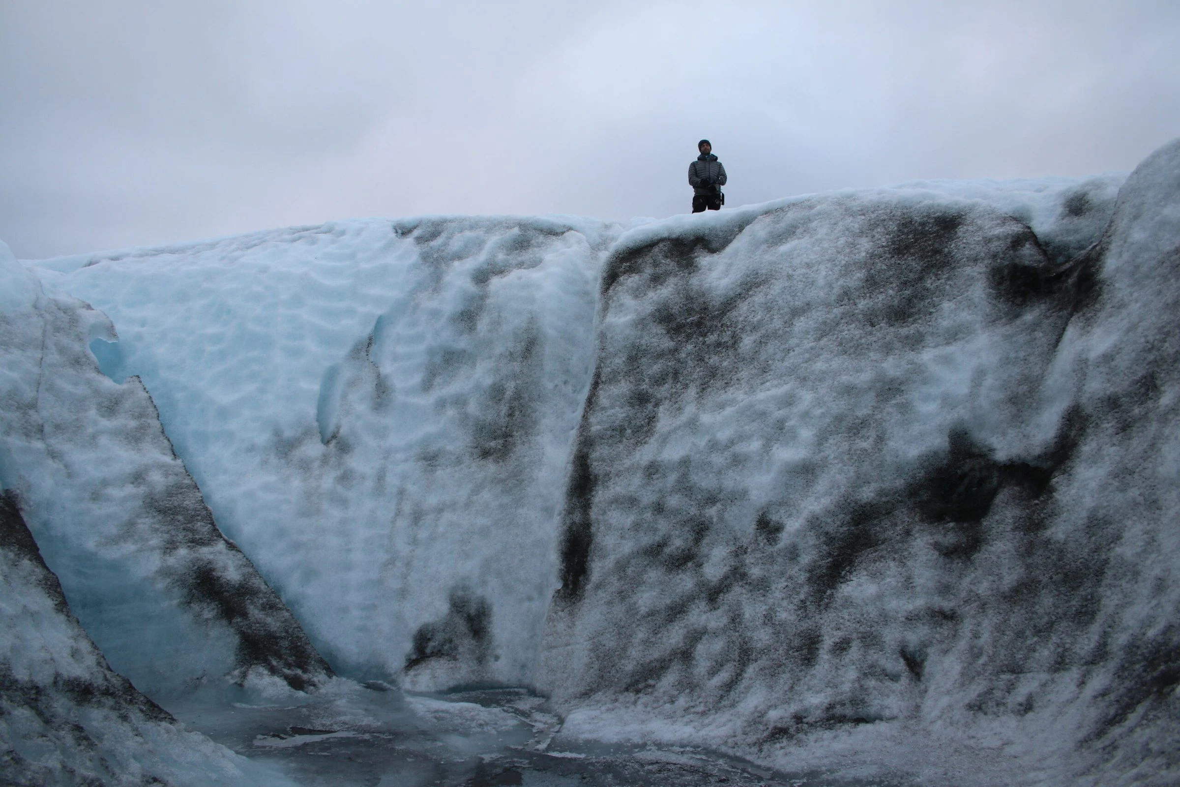
The uneven surface made the hike challenging. Once on the glacier, we tried ice climbing, looked into holes in the ice, and explored blue ice caves. There was plenty to see both close up and across the surrounding landscape.
- Ice climbing on sheer walls of glacial ice
- Looking into holes carved in the ice by natural forces
- Seeing the blue ice formations
- Taking in panoramic views of the surrounding landscapes
Going with a guide
This was a guided outing, with Rowan leading us across the changing terrain and onto the ice. If a glacier hike is part of your plans, look for a guided trip suited to your experience and the conditions at the time.
Photographs from the visit
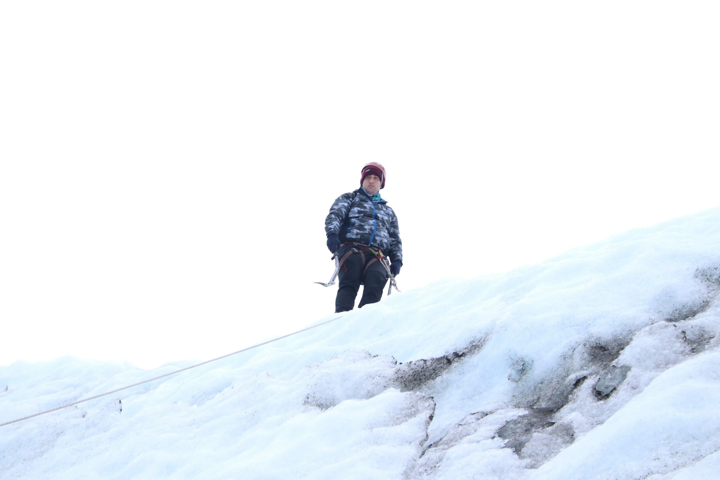
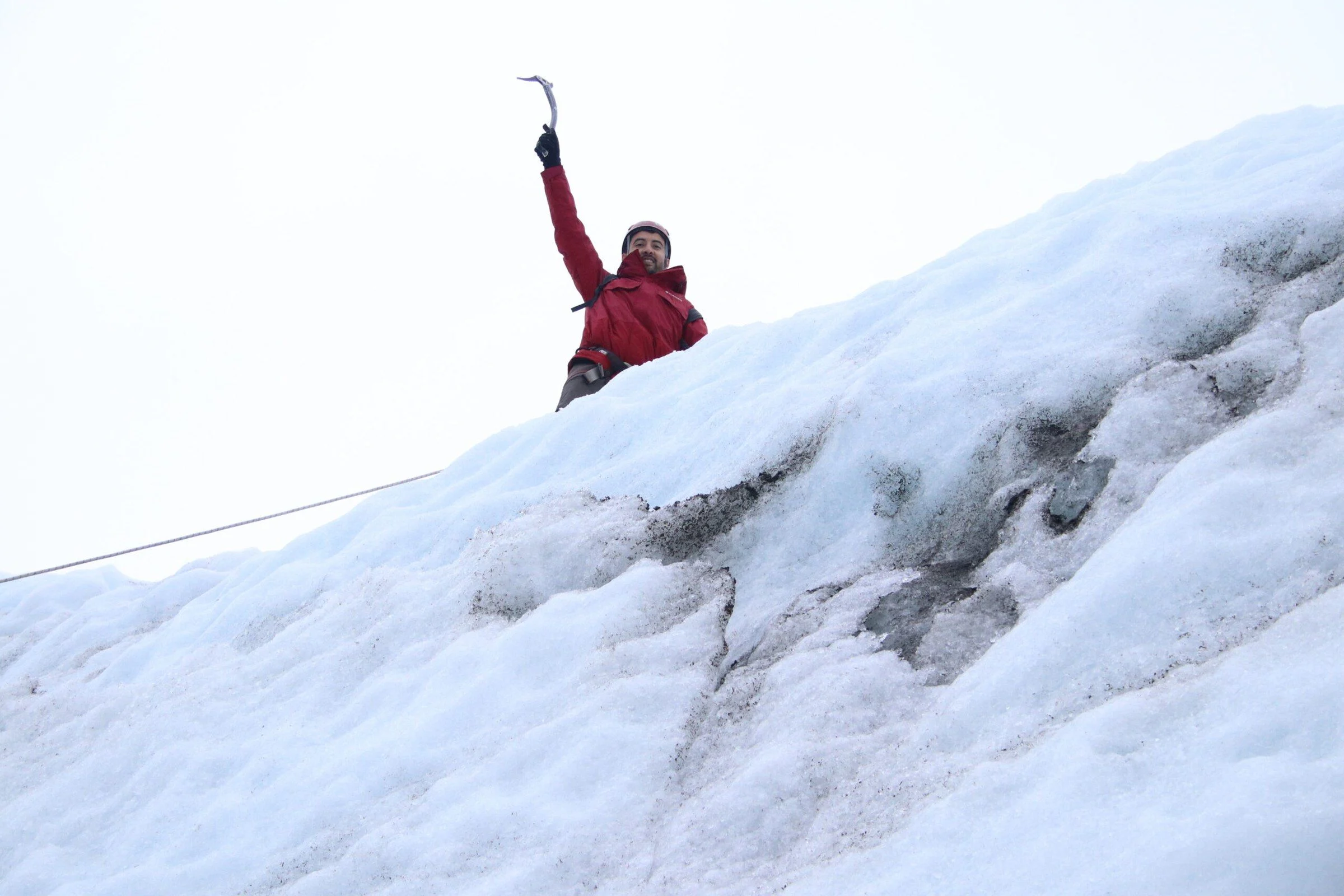
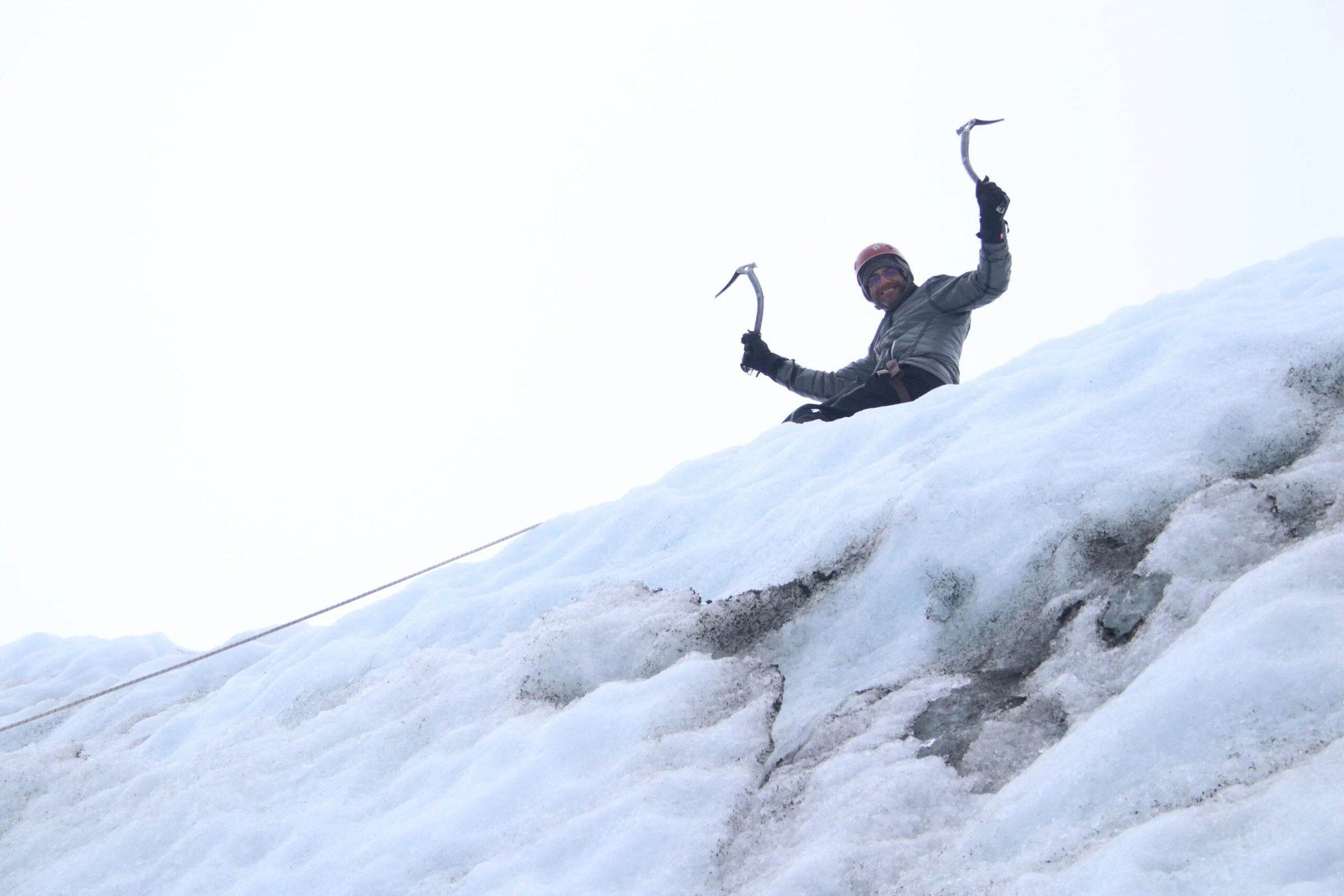
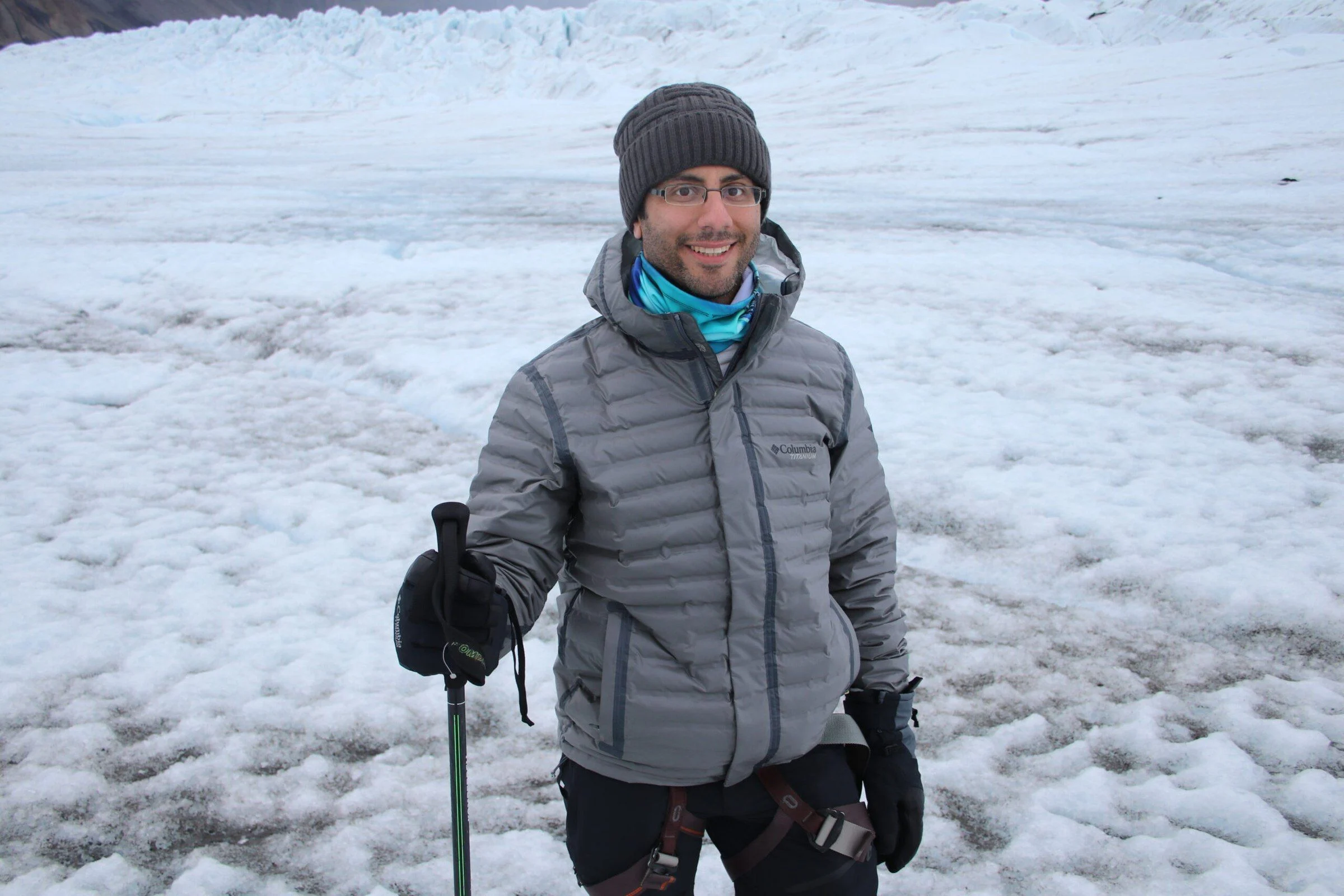
 Rowan explains the glacierRecorded during the Iceland visit.